Hike Details
Type:
Out and back
Distance:
1.6 miles round trip
Elevation Gain:
100 feet
Difficulty:
Easy
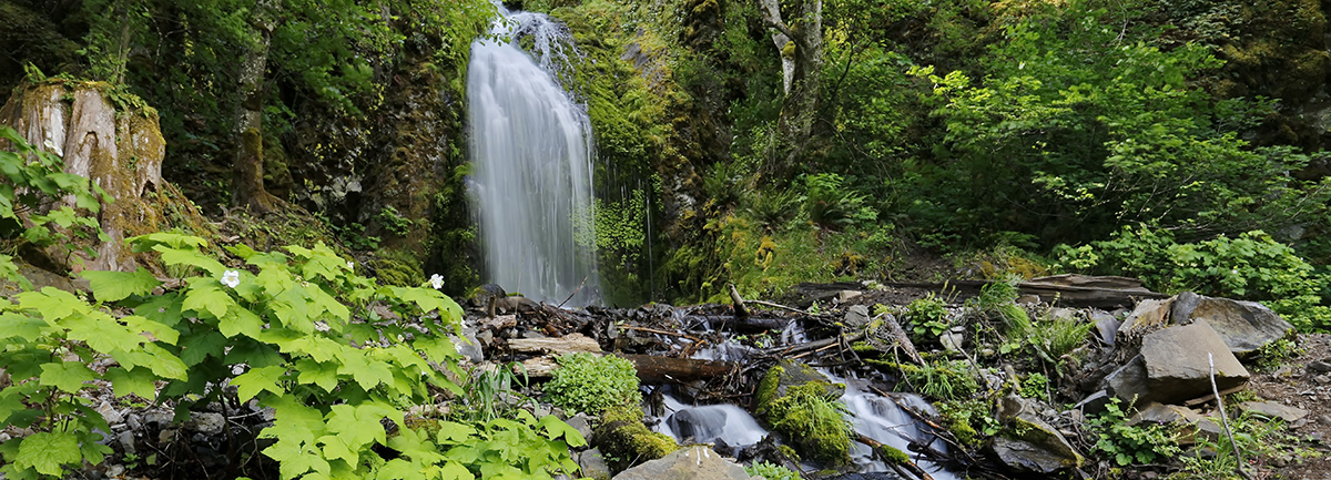
This new section of Historic Highway State Trail boasts views of three waterfalls in 1.2 miles! While these falls have always been accessible to hikers; now, for the first time, they are accessible from a paved, well-graded universal trail. The hike to Lancaster Falls is a westward out-and-back hike or bicycle ride. As it parallels I-84 you’ll pass over Warren Creek bridge to an overlook and picnicking spot at Hole-In-the-Wall Falls. The trail currently ends at Lancaster Falls, named for the Columbia River Highway’s designer and engineer, Samuel Lancaster. This waterfall is just visible from a viewpoint along the State Trail but for a better look at Lancaster Falls, take a hike up Starvation Ridge Trail.
The Lancaster Falls trail connects with an existing 1.2-mile section of the State Trail that runs east from Starvation Creek Trailhead to Viento State Park making for a nice 5-mile hike or bike ride.
There are four waterfalls awaiting you in about a 1-mile stretch. From east to west, they are:
Distance from Starvation Creek Trailhead (approximate)
- Starvation Creek Falls (0.1 miles east)
- Cabin Creek Falls (0.3 miles west)
- Hole-in-the-Wall Falls (0.6 miles west)
- Lancaster Falls (0.8 miles west)
Other hikes leading from Starvation Creek Trailhead include:
- Hole-in-the-Wall Falls
- Mt. Defiance
- Starvation Creek Falls
- Starvation Creek Ridge Loop
- Starvation Creek to Warren Lake


